
Tourism: Make the most of scant remains and “not much to see” sites with a look-through sign
Here’s a tourism tip from a roadside stop from my long drive to visit rural communities in Eastern Colorado.
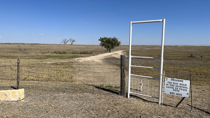
The Santa Fe Trail wagon ruts are still visible near Lakin in Western Kansas. You can walk across the little dam, past the tree and right out to the original trail, but there isn’t a lot to see.
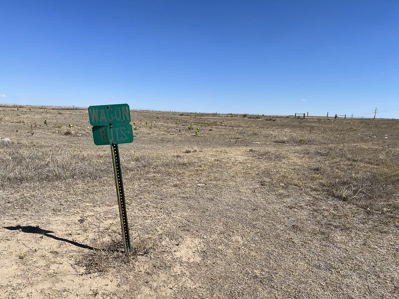
Here’s a closer view of the ruts. The ruts are running diagonally from top left toward the lower right. It’s still not what you’d call much to see, and the “Wagon Ruts” sign isn’t terribly helpful.
For places like this where the is little left to see, a smart addition would be a “look through” sign like this one, shared with me by Doug Mackenzie. You look through the sign, and it shows you where things used to be.
If you stand in the right place and line up the outline of the courthouse with the actual courthouse in the distance, you can see the locations and outlines of other buildings that were there in 1920.
Imagine a similar design showing wagons and people walking. When you looked through the sign and lined up the horizon, the outlines of wagons and people would line up with the remains of the Santa Fe Trail ruts. I think that would be cool.
Here’s the Kansas Historical Marker at the site, describing how to find the ruts.
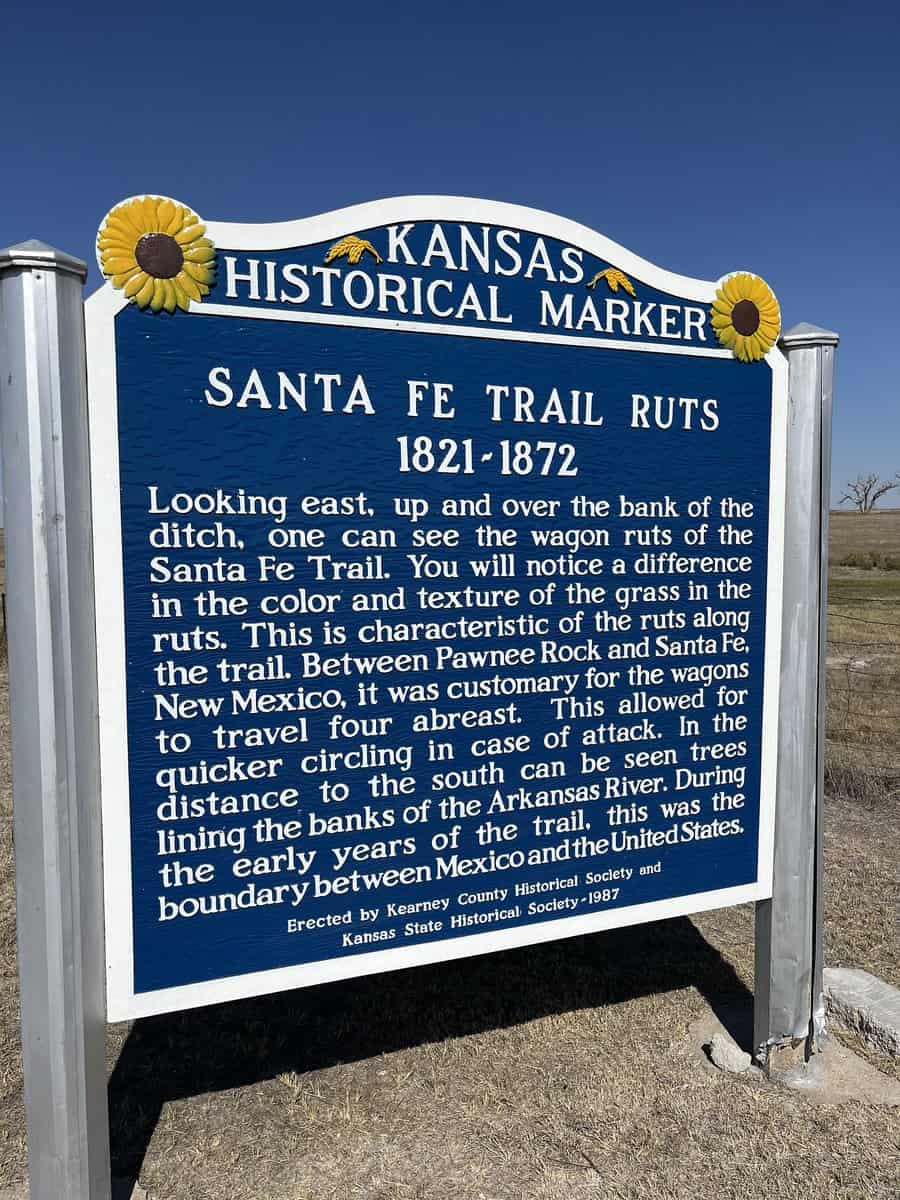
Another obvious addition is any mention of the Indigenous people. The marker mentions “attack” but no context or story about the conflict between people here. It would be another way to add value and meaning to the scant remains of the old Santa Fe Trail.
Subscribe to SmallBizSurvival.com
- About the Author
- Latest by this Author

Becky started Small Biz Survival in 2006 to share rural business and community building stories and ideas with other small town business people. She and her husband have a small cattle ranch and are lifelong entrepreneurs. Becky is an international speaker on small business and rural topics.