Is your town map accurate in Waze?

Guest post by Steve Dee
I’ve been using the Waze app for directions (and more importantly using crowd-sourced information to avoid police traps) since before it was bought by Google.
I first started looking into editing the Waze map as a means of routing tourist travelers away from our school’s 15 MPH speed zone. It turned out that a tiny section of road in the local roundabout where two major highways meet was miscategorized as not part of the highway and so travelers were being routed past the school as the fastest way to head north out of town. The bad routing also had the negative consequence of tourists skipping our downtown business district! As a self-directed project for my Chamber of Commerce, I decided to edit the Waze map for my community.
The base Waze map that was initially imported about 8 years ago is somewhat accurate, but full of outdated and extraneous road information, and doesn’t include ANY info about local businesses. In metropolitan areas where there are lots of Waze app users and lots of map editors, map inaccuracies or deficiencies that arose were fixed very quickly and changes are updated frequently. Those areas also tend to have local and state governments willing to participate in uploading up to date construction information, too. In rural areas like Montana, there are people working on updating the map, but they tend to focus on spots with the largest demographic of Waze users – in Montana’s case, places like Billings, Missoula, and Glacier and Yellowstone National Parks as well as major roads – Interstate Highways 15 and 90.
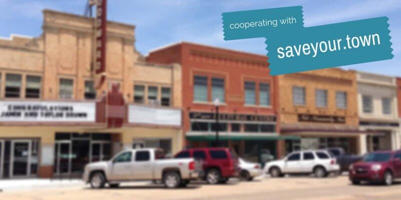
My hometown of Choteau (which is actually fairly well-traveled spot between the National Parks) is low on their priority list. When I began editing, Choteau had only our three gas stations listed, and they weren’t even marked in the correct location or with correct contact information. There were mapped roads that didn’t correspond to any real-world roads! Over the past four weeks using data from my county and state’s GIS maps, I’ve gone block by block and corrected the roads, added business locations complete with as much contact information as is available. I was even able to help route travelers around our 4th of July parade by using the Temporary Closures tool available in the map editor!
The Waze map in Choteau is now well populated with businesses, parking areas, and parks, but it took time, learning from the Waze Map editing wiki (Best Practices, Map Editor Manual) participating in the Waze Forums and chatting with other map editors from my state in the local Map Editor’s Google Hangout before I really got the swing of how editing the Waze map worked. I also installed a couple of browser extension scripts that simplified tedious tasks (like adding speed limits to roads) or ensured that I input all the important data for a business.
Something worth noting: in Waze Map Editing, sources matter. You can’t use any copyright maps or sources for updating map info (while Waze is owned by Google and the aerial maps are provided from Google Maps data from Google Maps cannot be used in Waze map editing) but GIS maps and public domain information is welcomed.
Finally, a fun new feature from Waze: Custom Voice Packs. As of July 2017, you can now add your own custom voice packs to Waze! Custom Voice Packs are for personal use only, but you can have a fun time recording custom navigation for your friends’ Waze apps! I encourage you to try editing and updating your local map – if you don’t you leave it up to someone who doesn’t know your community as well as you do.
About the Author
 Steve Dogiakos lives in Choteau, Montana with his wife Sandra and his two pups. He is co-owner of Choteau Spice Co., proprietor of Golden Triangle Goods, and website creator at Steve Dee Designs. Steve serves on the board of the Choteau Acantha Editorial Board, Choteau Chamber of Commerce, and the Choteau Area Port Authority and is Unit Commissioner to Pack and Troop 51.
- About the Author
- Latest by this Author
The rural small business blog. We talk about small town business, with how-to articles, especially on social media marketing and making your community a better place. We use this “author” for announcements and other things you’ll want to know.